Video Feed Analysis
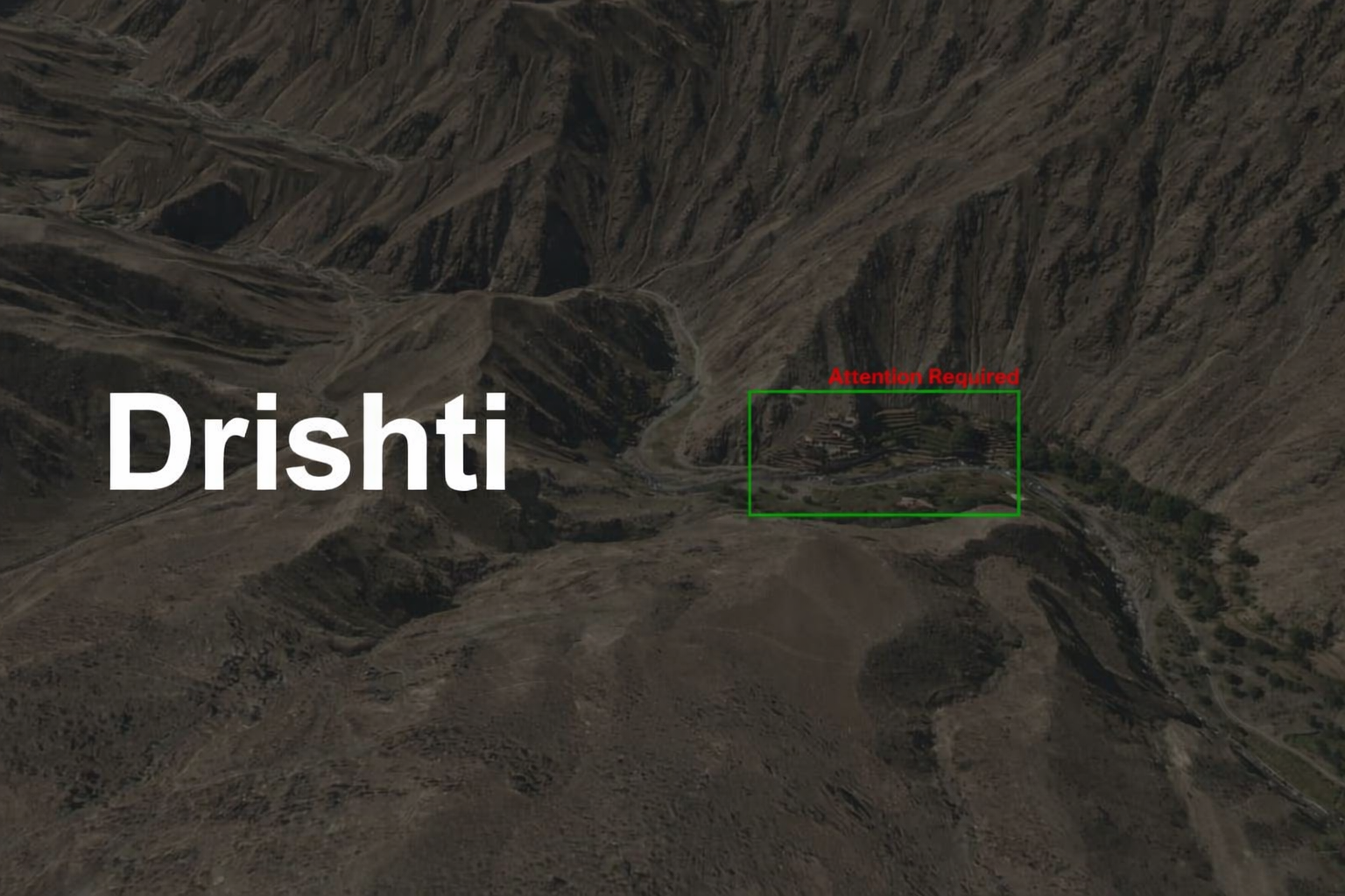
Drishti Analytics is a powerful tool for real-time surveillance, helping security agencies and organizations monitor large areas efficiently. Equipped with high-resolution cameras, AI-driven analytics, and thermal imaging, drones can capture and analyze live footage to detect unusual activities, track movement patterns, and enhance situational awareness. By integrating advanced computer vision, geospatial mapping, and predictive analytics, drones provide a strategic advantage in security operations, disaster response, and traffic monitoring.
Video analytics in drone feed data processing utilizes AI-driven algorithms, machine learning, and computer vision to extract valuable insights from aerial footage. This technology enables real-time monitoring, object detection, movement tracking, and automated alerts, making drones a powerful tool for security, disaster response, urban planning, and industrial inspections. By analyzing live and recorded video feeds, organizations can enhance situational awareness, improve decision-making, and optimize surveillance operations.
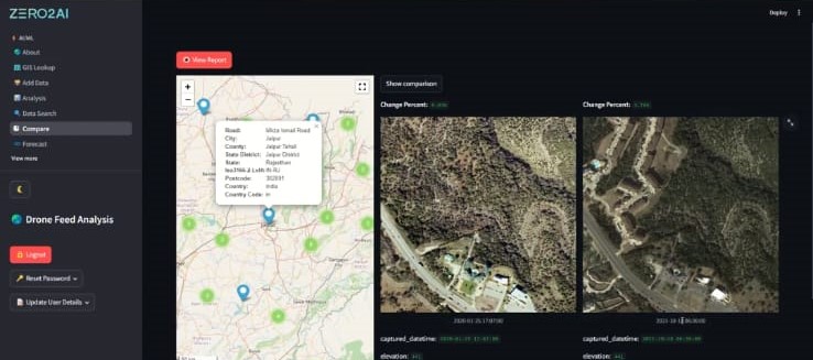
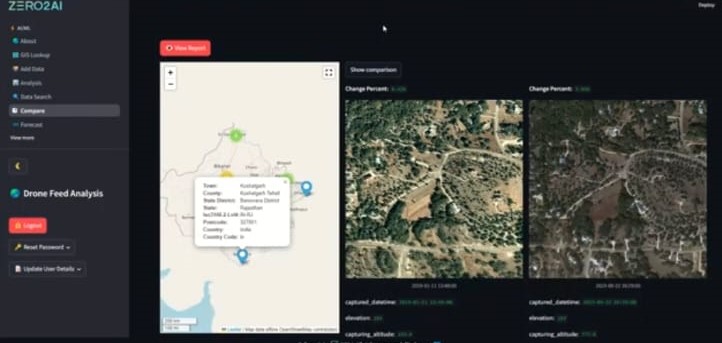
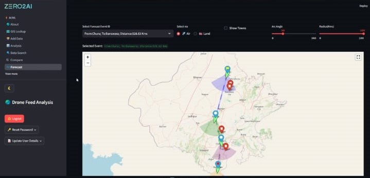
Location-based Drone Feed Analytics integrates real-time geospatial data, GPS tracking, and AI-driven video analytics to enhance monitoring and decision-making across various industries. By analyzing aerial footage in combination with location intelligence, heatmaps, and movement patterns, this technology provides actionable insights for security, disaster response, urban planning, and infrastructure monitoring.